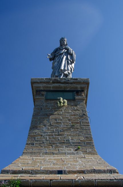
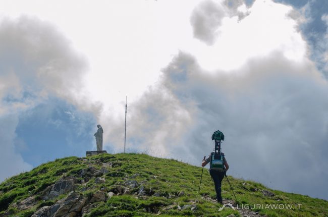
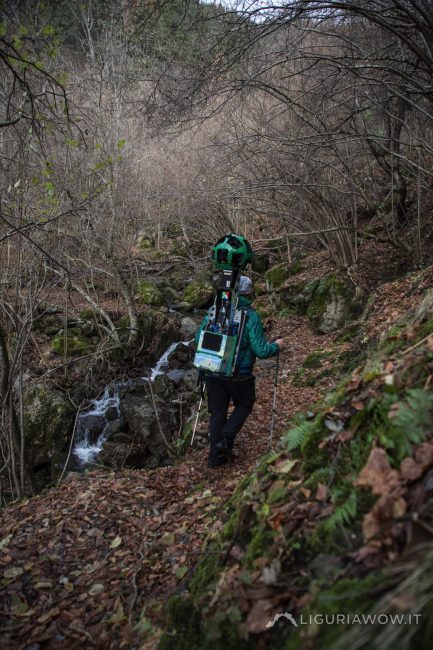
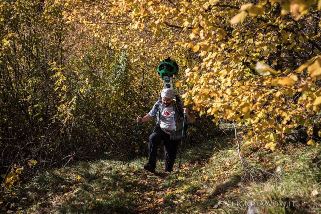
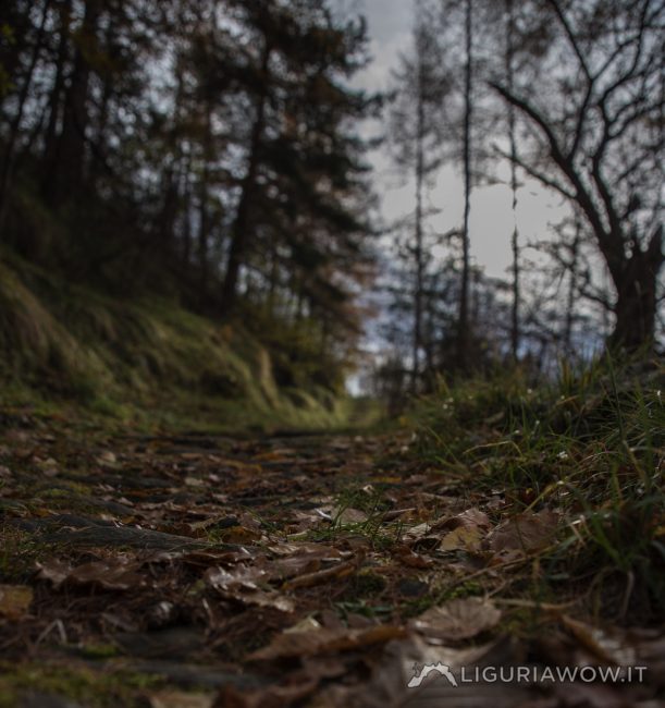
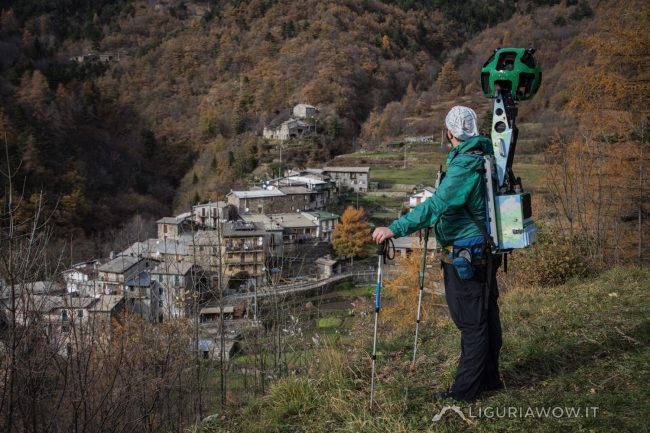
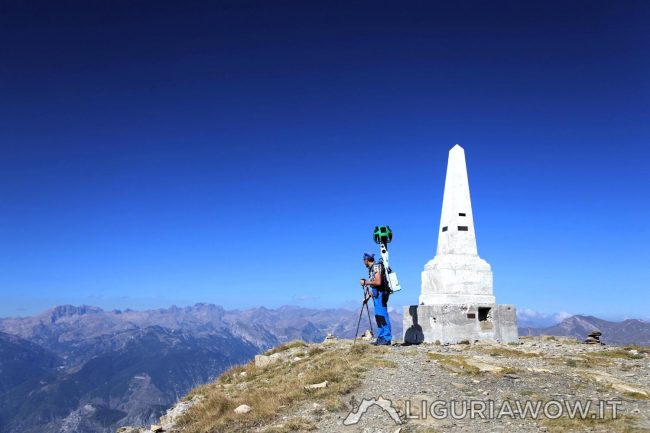
The symbol of the high mountains for the inhabitants of Western Liguria Located on the Saccarello, which with its 2201 meters above sea level is the highest mountain in Liguria, the statue of the Redentore (Redeemer) dominates the valleys of the province of Imperia, next to the province of Cuneo and France.The Redentore embraces with […]
Continue readingCategory: Triora
Monte Frontè
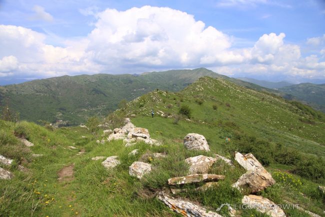
The second peak of Liguria With its 2153 meters, Monte Frontè it is the second peak in Liguria after Monte Saccarello. It represents the watershed between the Tanaro valley, the Argentina valley and the Arroscia valley and overlooks the “Ciottu de e Giaie”, or the “Conca dei torrenti”, where spring waters are born.Once called Frontero, […]
Continue readingChurch of San Bernardino in Triora
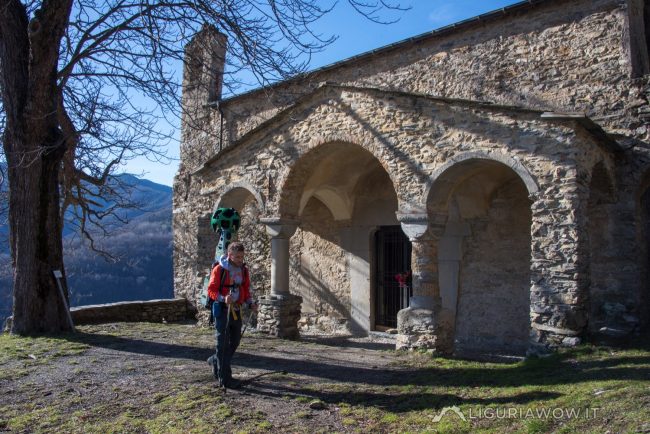
Beautiful and chilling frescoes The church of San Bernardino in Triora dates back to the 15th century and stands along an ancient mule track. The building preserves splendid and chilling frescoes representing the Last Judgment. Initially erroneously attributed to Giovanni Canavesio, the paintings are probably the work of a Tuscan Renaissance artist. Testo a cura […]
Continue readingMilitary road between Passo di Collardente and Passo della Guardia
In support of the border’s defense system The military road was built in the 19th century to support the defense of the border with France. Today it is one of the most panoramic and fascinating routes in the heart of the Ligurian Alps Park. Testo a cura di Nicola Ferrarese, immagini di Claudio Cecchi
Continue readingPath between Verdeggia and Passo della Guardia
Signs of an agro-pastoral past The path that connects Verdeggia with Passo della Guardia and the highest mountains of Liguria, passes through woods, ancient inhabited areas and crops that have now been abandoned. Testo a cura di Nicola Ferrarese, immagini di Claudio Cecchi
Continue readingPath between Verdeggia and Vesignana
Ancient mule track towards the ridge routes The path, that runs through ancient crops, connects Verdeggia (1100 m) to Vesignana (1519 m), linking the valley floor to the high military road. Testo a cura di Nicola Ferrarese, immagini di Claudio Cecchi
Continue readingPath between Verdeggia and Realdo
Connecting Genoa and the Savoy Verdeggia and Realdo, two towns of the Brigasque culture, are connected by an ancient track. Today both are hamlets of Triora but historically were divided between Genoa and Savoy. Testo a cura di Nicola Ferrarese, immagini di Claudio Cecchi
Continue readingVerdeggia
Brigasca culture lives here The town of Verdeggia rises 1100 m in the center of the rocky amphitheater of Mount Saccarello, framed by woods and streams that give birth to the Argentina stream.Probably founded in the sixteenth century, it was partially destroyed on January 30 1805 by an avalanche, causing the death of 16 people. […]
Continue readingVia Marenca
The thousand-year-old highway The Via Marenca is a route that connected Piedmont, France and the northern regions with the coast, allowing people to move and trade, primarily salt. A stretch of great strategic importance connected the villages of the Impero, Maro and Prelà valleys, reaching Oneglia, the landing point of merchant ships even before th […]
Continue readingMonte Saccarello
The summit of Liguria Monte Saccarello, 2200 m, is the highest peak in Liguria. In 1896 the Austro-Piedmontese army built on its top a fortified complex, armed with cannons oriented towards the French territory. Fonti: Difese militari ed eventi bellici (1940-1945) in provincia di Imperia (Davide Bagnaschino) Testo a cura di Nicola Ferrarese, immagini di […]
Continue reading