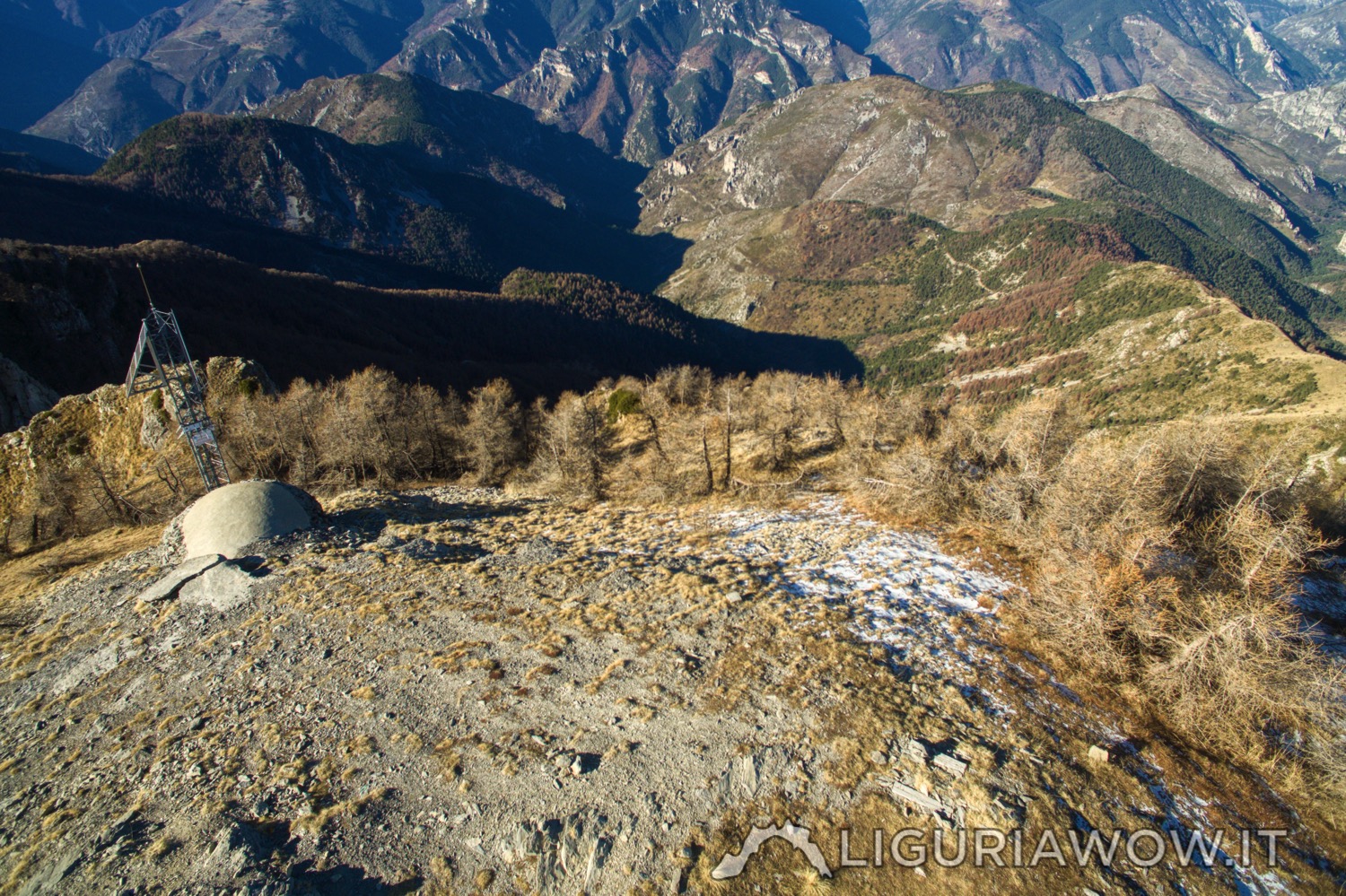
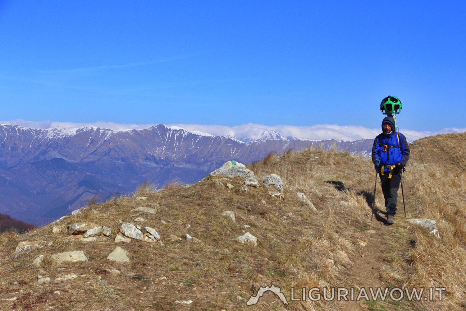
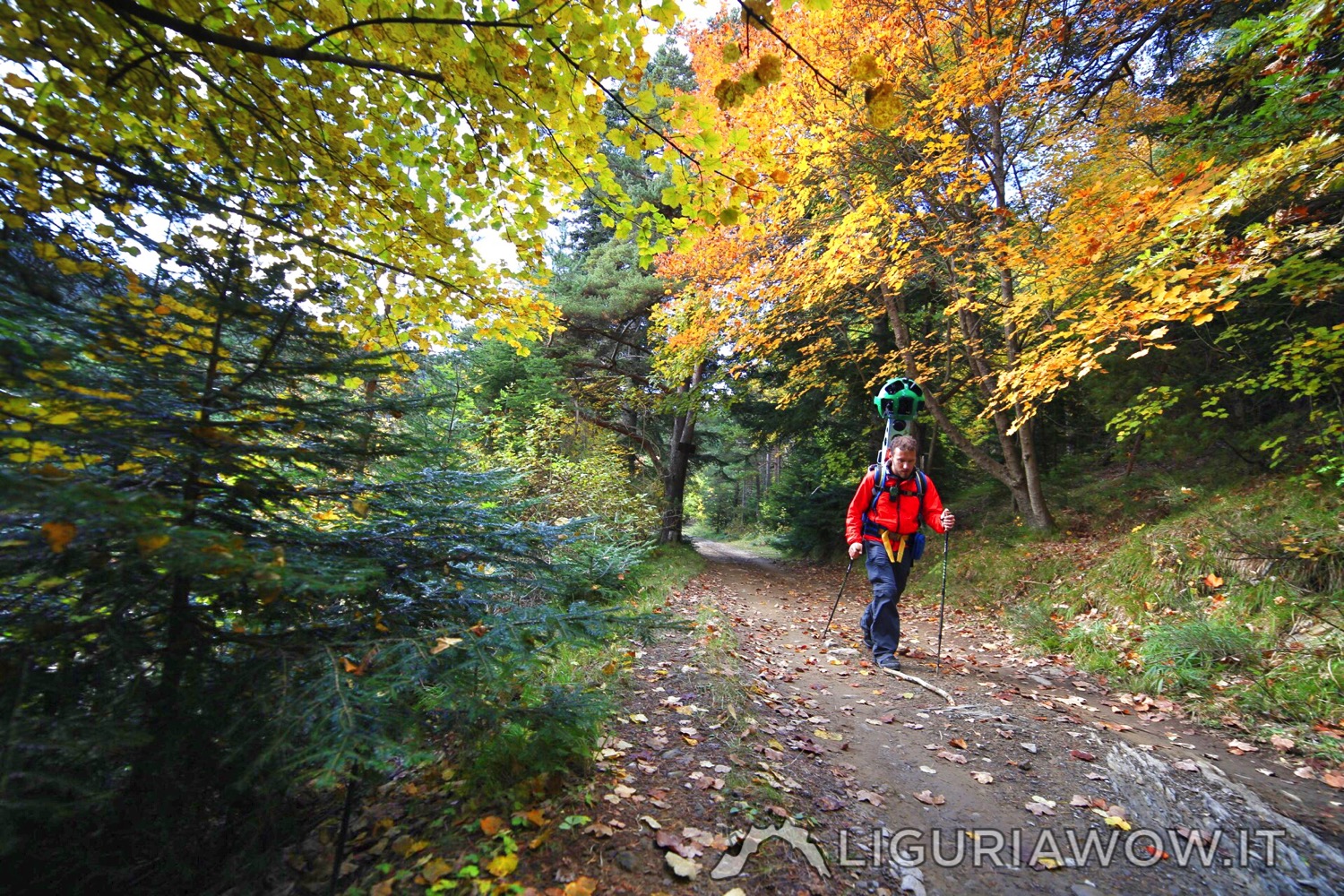
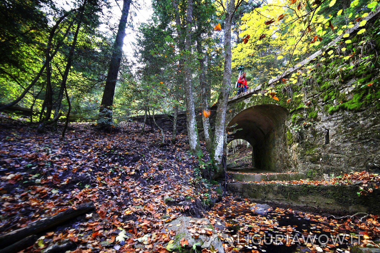
Cima Marta, 2138 m, is located between Valle del Saorge and Valle Argentina. Due to its strategic position, it was chosen by the Austro-Piedmontese army for building defensive fortifications. Testo a cura di Claudio Cecchi, immagini di
Continue readingAuthor: Federico Nasi
Baraccamenti di Marta
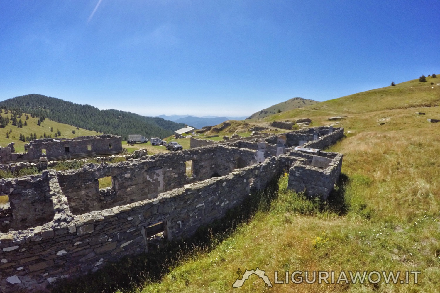
Military barracks from the XIX century The six buildings of the Baraccamenti di Marta have been built since 1890 to house over 500 soldiers, 30 pack animals, ammunition and supplies. The complex was part of the defensive system at the border with France and served the entrenched camp, consisting of five artillery batteries (set of artillery […]
Continue readingFortified building near Negi
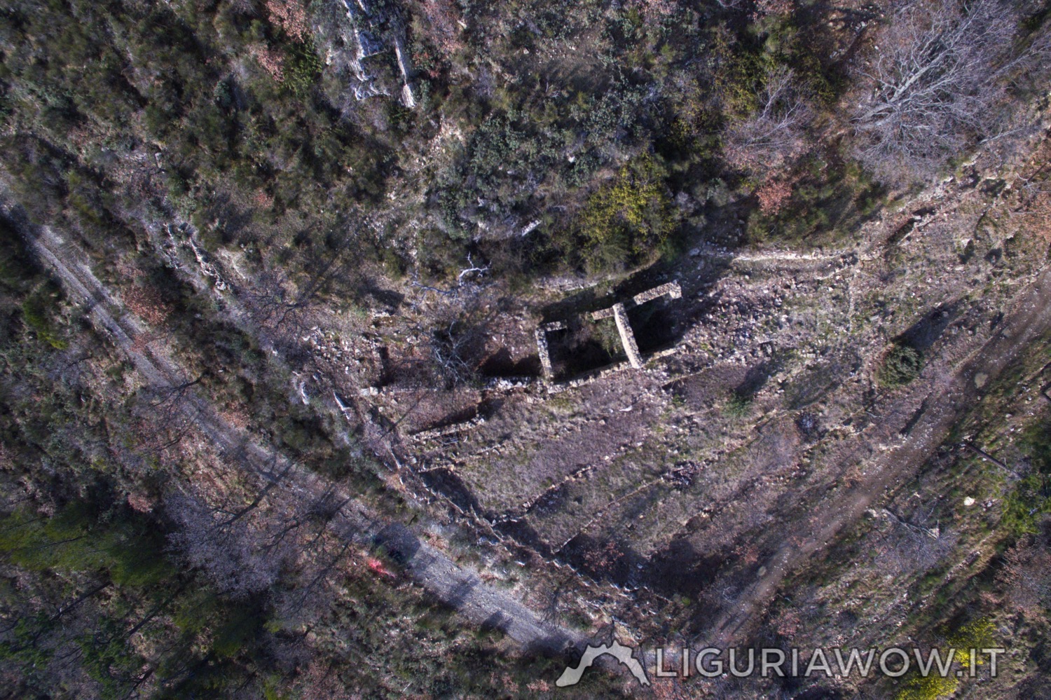
An unknown castle near an important ancient road Right above the road that leads from Seborga to the church of San Bartolomeo and continues towards France and Piedmont, there are the remains of a fortified building.Since the border of the ancient principality of Seborga is nearby, this building could be part of a defense system.We invite […]
Continue readingChurch of San Nicolò a Bajardo
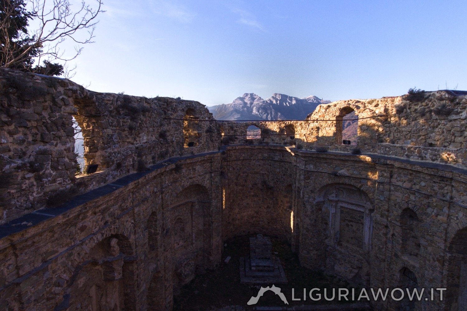
A village reborn Bajardo is a wonderful example of medieval Ligurian village. It was also well defended from invaders, thanks to its narrow alleys and easily controllable access routes. At the top of the village, the ruins of the ancient church of San Nicolò evoke a tragic event: on February 23, 1887, a strong earthquake destroyed many […]
Continue readingMonte Ceppo
Al centro della Provincia In the middle of Imperia province Al centro della Provincia Mount Ceppo, 1627 mt, has pastures on its summit and a beautiful woodland on its slopes. The peak view spans 360 degrees above the Imperia Province. Testo a cura di Claudio Cecchi , immagini di Nicola Ferrarese.
Continue readingSentiero degli Alpini
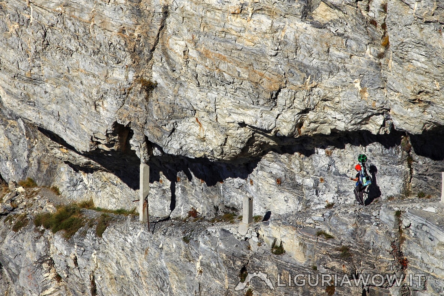
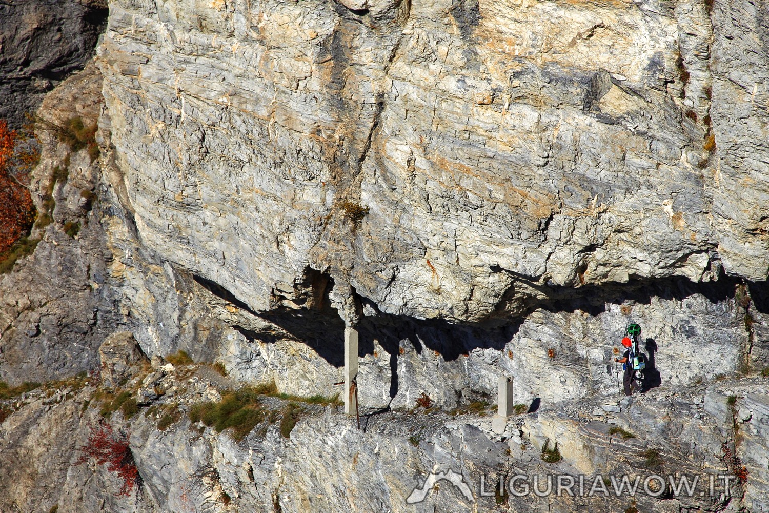
The most exciting trail of Western Liguria Sentiero degli Alpini was built between 1936 and 1938 to connect the Monte Grai barracks with the defensive line of Monte Pietravecchia-Monte Toraggio.The narrow path, largely carved in the rock through steep slopes, guaranteed the one-way passage of men and mules. Testo a cura di Claudio Cecchi, immagini […]
Continue readingMonte Pietravecchia
The peak of Nervia valley Monte Pietravecchia, 2038 mt, is the highest peak of the ridge between Val Nervia and Val Roja. Its northern slope is covered by a dense forest, crossed by a military road that leads to the remains of the field battery station, dating back to approximately 1880 andplaced at its top. Testo […]
Continue readingMilitary barracks of Testa d’Alpe
The remains of an heavily fortified border The area between Testa d’Alpe and Monte Toraggio, often simply referred to as “Gouta”, has a remarkable naturalistic value thanks to its forest of Gouta-Testa d’Alpe.Between the first and second world war, the area became one of the most fortified in all the Alps, forming the Sottosettore V / […]
Continue readingFoliage around Scarassan
Autumn colors At the end of the summer, every nourishment reaches the trunk and roots of deciduous plants. Leaves then start to change their color, making a great final show. Testo a cura di Corrado Agnese, immagini di Nicola Ferrarese.
Continue readingCasemates in the wood of Scarassa
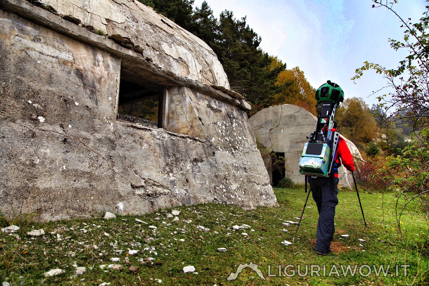
Vallo Alpino fortifications Colla Scarassan, 1224 mt, was part of Posizione di Resistenza del Vallo Alpino, the fortified line built between the two world wars near the French border. Along the military route it is possible to see many suggestive defensive fortifications. Testo a cura di Claudio Cecchi, immagini di Nicola Ferrarese.
Continue reading