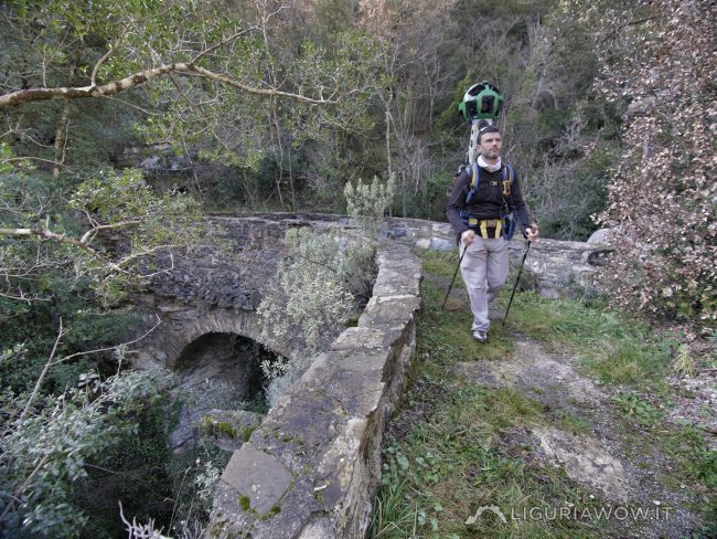
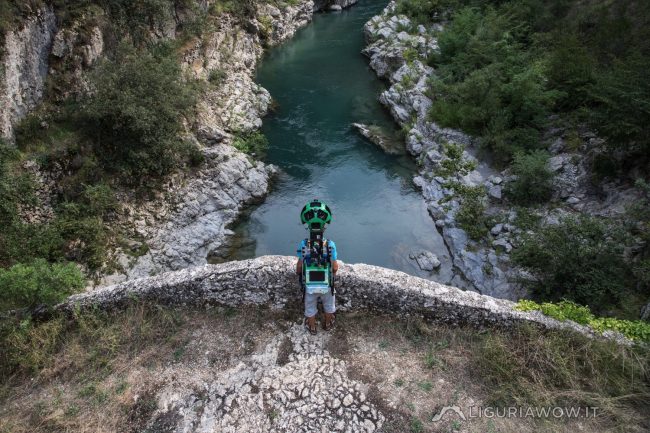
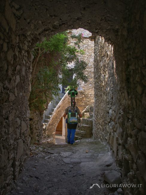
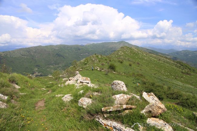
On a high and narrow gorge The main mule track that connects Saorge, Passo Muratone and the village of Pigna crosses the Rio del Corvo with a very high stone bridge, called Ponte Bausson. Testo a cura di Nicola Ferrarese, immagini di Nicola Ferrarese
Continue readingValle: Roia Valley
Collabassa bridge
Ancient bridge and modern bridge In Airole, near the hamlet of Collabassa, there is an ancient stone bridge which was the only way to cross the Roia stream until the mid-twentieth century. Today it is surmounted by a reinforced concrete bridge: something similar happened to the Madonnetta Bridge in Diano Roncagli. Testo a cura di […]
Continue readingAirole
Early medieval village of Val Roja The medieval village of Airole has been founded at the meeting point between the ancient mule tracks coming from the Nervia and Bevera valleys.Its name comes from the Latin word “areola” (farmyard): the land once frequently cultivated in front of the house.The first document that mentions “Eyrole” is the […]
Continue readingForte Centrale
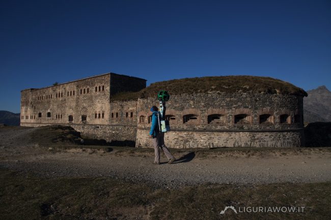
Defending the border with France Right after the annexation of the County of Nice to France, the Colle di Tenda found itself in a delicate border position. For this reason the Regio Esercito opted in 1881 for the construction of a fort which ended in 1885.In 1947 it passed to France with the Paris Peace […]
Continue readingFanghetto
Ancient village of Roja Valley Fanghetto was originally the name of a land plot in which, starting from the seventeenth century, some local families settled, Trucchi being the first.Today it is an hamlet of Olivetta San Michele. Fonte: Andrea Gandolfo, La Provincia di Imperia, Blu Edizioni, 2005 Testo a cura di Nicola Ferrarese, immagini di […]
Continue readingPunta Marguareis
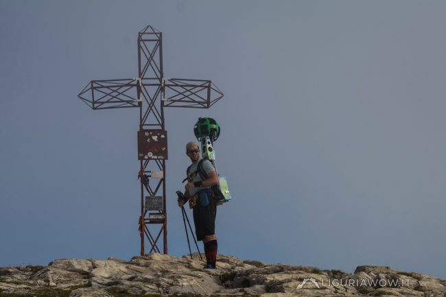
The highest peak in the Ligurian Alps Punta Marguareis is the highest peak in the Ligurian Alps, 2651 m high. It rises at the top of the Tanaro, Pesio and Roia valleys. On its peak passes the border between Italy and France.The whole area is well known for karst phenomena, with caves that reach up […]
Continue readingVia del Sale – Via Marenga
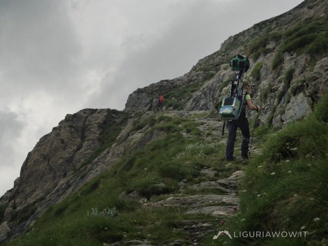
Connection between the sea and the northern lands By the name of Via del Sale we often mean the military road built in the thirties as a link between the military installations of the Vallo Alpino di Ponente.However, in more remote times, goods and salt followed paths and mule tracks near the ridges, such as […]
Continue readingBrigasca sheep on the Tanarello Pass
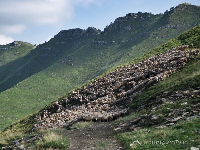
A large flock along the Via Marenga The Brigasca breed was at risk of extinction: autochthonous of the Occitan area, it was disappearing in favor of other more productive breeds. Thanks to the rediscovery of the typical cheese, called “toma”, obtained from its milk, this sheep with rustic characteristics has returned during the last fifteen […]
Continue readingVia Marenca
The thousand-year-old highway The Via Marenca is a route that connected Piedmont, France and the northern regions with the coast, allowing people to move and trade, primarily salt. A stretch of great strategic importance connected the villages of the Impero, Maro and Prelà valleys, reaching Oneglia, the landing point of merchant ships even before th […]
Continue readingRicovero Q
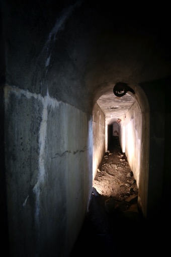
A shelter for the troops of Vallo Alpino The Ricovero Q is located on the west side of Monte Ceriana, near the crossroad between Cima Marta and Bassa di Sanson. The structure is part of the defensive works of the Vallo Alpino and was used as a refuge for soldiers in the event of a bombing. It […]
Continue reading