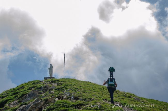
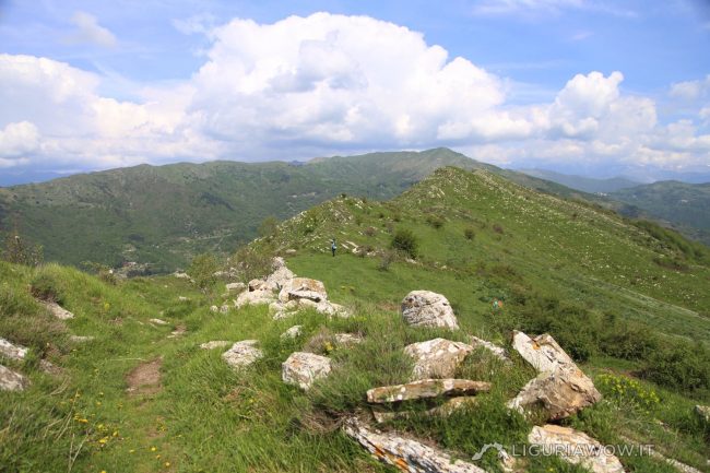
The second peak of Liguria With its 2153 meters, Monte Frontè it is the second peak in Liguria after Monte Saccarello. It represents the watershed between the Tanaro valley, the Argentina valley and the Arroscia valley and overlooks the “Ciottu de e Giaie”, or the “Conca dei torrenti”, where spring waters are born.Once called Frontero, […]
Continue readingValle: Arroscia Valley
From Passo Muratone to Pigna
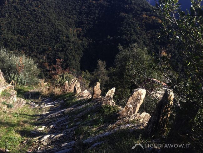
Abandoned settlements and ancient human traces The mule track that descends from Muratone Mountain Pass to the village of Pigna is part of the ancient road between Saorge (Saorgio) in Roja and Nervia valleys. Along its way there are numerous small pastoral agricultural settlements now abandoned. A peculiar feature is the presence of border stones […]
Continue readingSanta Filomena bridge
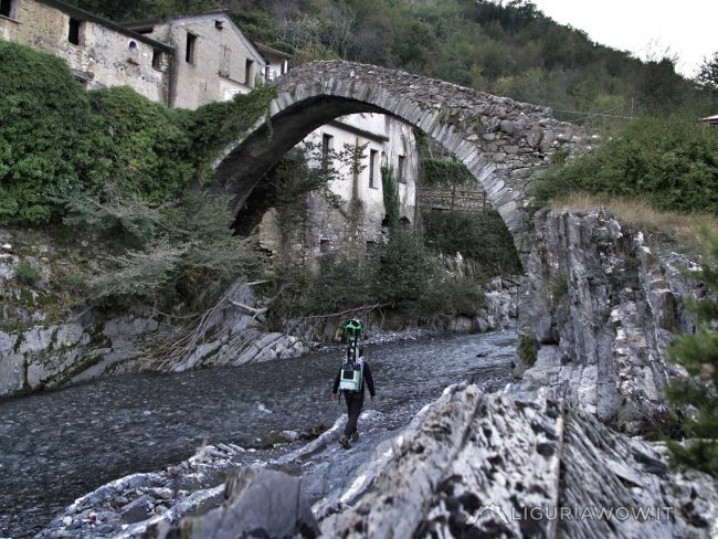
One of the oldest bridges in Western Liguria The Santa Filomena bridge connects the church of the same name with the Molino del Longo, a water mill probably built in the sixteenth century.The construction of the bridge was lost over time: it could be older than the 13th century town of Pieve di Teco and […]
Continue readingPonte de Raigà a Mendatica
An unprecedented work of rural architecture Near the meeting point between the Creuso and the Passo Cagnasso creeks there is a splendid and mighty stone bridge, called “de Raigà”. It’s part of the mule track that once connected Mendatica to the Sanctuary of the Madonna dei Colombi and Cosio d’Arroscia.While the bridges along the mule […]
Continue readingSanctuary of the Madonna dei Colombi in Mendatica
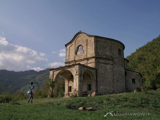
Small baroque jewel in the Upper Arroscia Valley The original sanctuary of the Madonna dei Colombi, built in the 18th century, was destroyed by the earthquake of 23 February 1887 and rebuilt in the Baroque style in 1904.The building was connected to the village of Mendatica by a mule track that crosses the Rio Passo […]
Continue readingMendatica
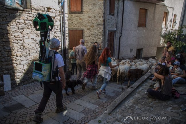
Capital of the Cucina Bianca Mendatica’s origins date back to the second half of the first millennium after Christ, a period in which a part of the Ingauna population (coming from today’s Albenga), driven by Saracen raids from the sea, took refuge in the Upper Arroscia Valley.The inhabitants were dedicated to agriculture and pastoralism, a […]
Continue readingNeviera del Guardiabella
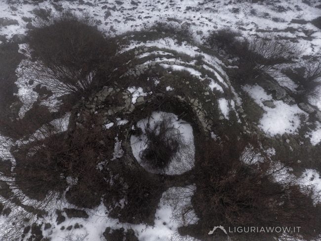
An unusual, huge snow pit Monte Guardiabella, the last mid-mountain meadow area where haymaking is still practiced, houses a uniquely shaped lneviera”: instead of being completely excavated in the ground, this is largely above ground, insulated by a series of concentric terraces of gradually increasing thickness approaching the base.This snow pit, whose construction has been […]
Continue readingVia Marenca
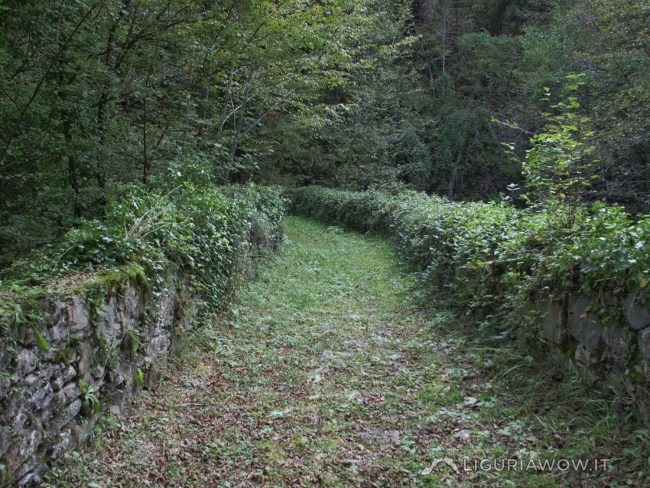
The thousand-year-old highway The Via Marenca is a route that connected Piedmont, France and the northern regions with the coast, allowing people to move and trade, primarily salt. A stretch of great strategic importance connected the villages of the Impero, Maro and Prelà valleys, reaching Oneglia, the landing point of merchant ships even before th […]
Continue readingPoilarocca – modello 3D
3D model of the village Poilaroccaby wepestoon Sketchfab
Continue readingAmong the “caselle” on the Guardiabella pastures
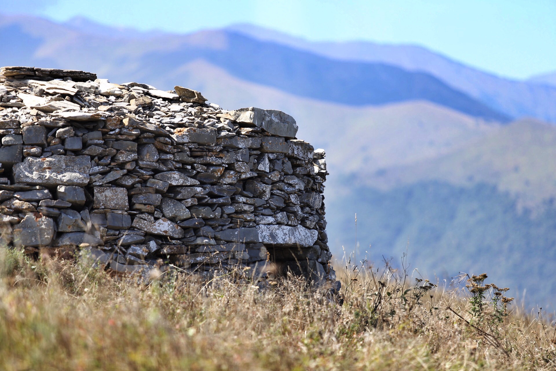
Monuments of rural life The “caselle” are very common in the meadows of the Guardiabella and Pizzo d’Evigno.These stone huts provided shelter to those who dedicated themselves to work in the fields. Testo a cura di Nicola Ferrarese, immagini di Nicola Ferrarese.
Continue reading