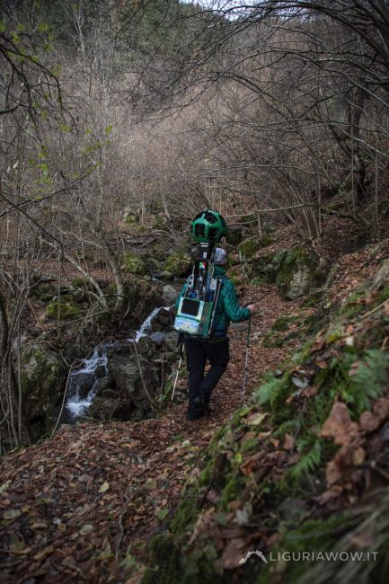
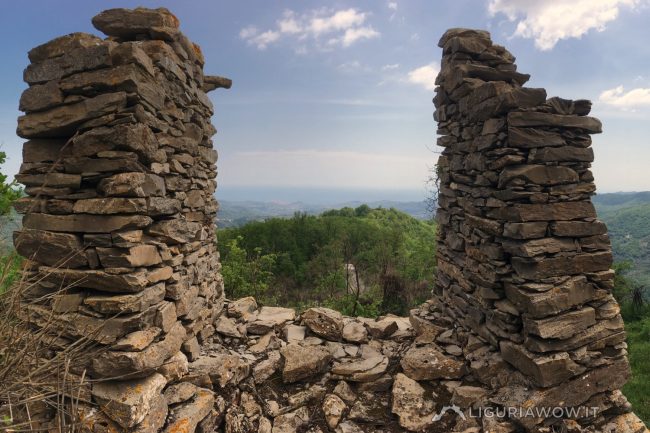
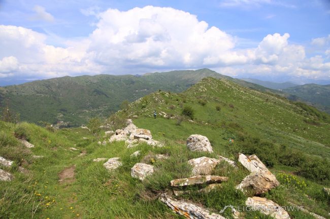
Signs of an agro-pastoral past The path that connects Verdeggia with Passo della Guardia and the highest mountains of Liguria, passes through woods, ancient inhabited areas and crops that have now been abandoned. Testo a cura di Nicola Ferrarese, immagini di Claudio Cecchi
Continue readingTag: Agro-pastoral civilization
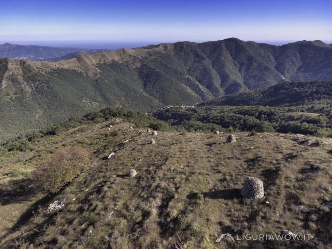
The stone piles of Alpe di Baudo
The mysterious rock shapes We are in Liguria on Alpe di Baudo mountain, above the ancient village of Carpasio. Here, dozens of stone piles emerge from the earth, arranged with great care. There are several fascinating theories about their origin. However, digging into the memories of the inhabitants of the Carpasina Valley reveals the mystery. […]
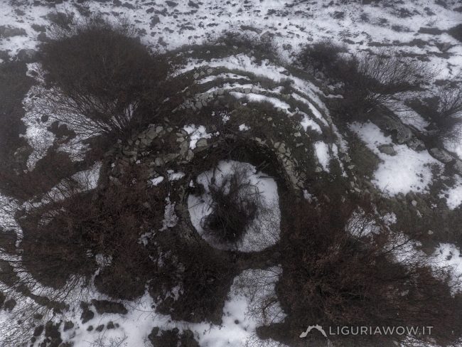
Continue readingNeviera del Guardiabella
An unusual, huge snow pit Monte Guardiabella, the last mid-mountain meadow area where haymaking is still practiced, houses a uniquely shaped lneviera”: instead of being completely excavated in the ground, this is largely above ground, insulated by a series of concentric terraces of gradually increasing thickness approaching the base.This snow pit, whose construction has been […]
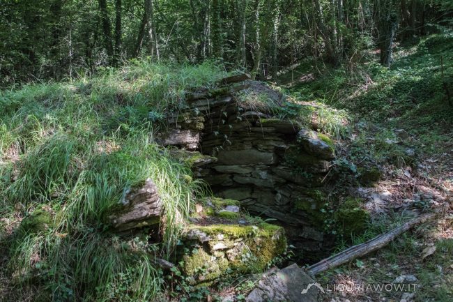
Continue readingNeviera di Villatalla
A snow pit doomed to disappear The “neviera” in the forest above Villatalla is the last one of the Ponente Ligure to still present a stone roof, although badly compromised. In this large well, snow crammed during the Winters of the Little Ice Age could be preserved till the warmer months. Neviera di Villatalla by […]
Continue readingCableways above Pantasina
Haymaking witnesses All the available land was exploited by shepherds and farmers based on altitude, slope, type of terrain, distance from the village and communication routes.The highest areas, more flat and subject to greater thermal gradients during the year, were dedicated to haymaking. To quickly transport the hay bales, called “beriui”, cableways were installed, some […]
Continue readingVia Marenca
The thousand-year-old highway The Via Marenca is a route that connected Piedmont, France and the northern regions with the coast, allowing people to move and trade, primarily salt. A stretch of great strategic importance connected the villages of the Impero, Maro and Prelà valleys, reaching Oneglia, the landing point of merchant ships even before th […]
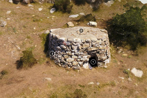
Continue reading3D model of a “casella” on the road to Pizzo Montin
A small stone hut next to the trails connecting the sea to the mountains Casellaby wepesto
Continue reading“Neviera” of Pizzo d’Evigno
Preserving ice all year round The “neviere” were huge wells with thick walls, capable of cramming and storing large quantities of snow, during the period known as “the Little Ice Age”, from the mid-14th to the mid-19th century.This neviera, one of the three found around the peak of Pizzo d’Evigno, has unfortunately completely collapsed and filled […]
Continue reading